
Explore the hazard mapper below to learn which hazards could potentially impact your home, work or the roads you travel on. Click on the links for the individual hazards to learn more about each one, including locally-relevant resources, information, and historical events.
Knowing what to do during an emergency is an important part of being prepared and may make all the difference when seconds count!

Hazard Mapper

DAM FAILURE

EARTHQUAKE

EXTREME HEAT

FLOOD

HIGH SURF - COASTAL
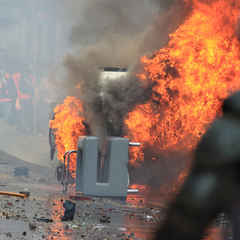
Human-Caused

Landslide & Debris Flow
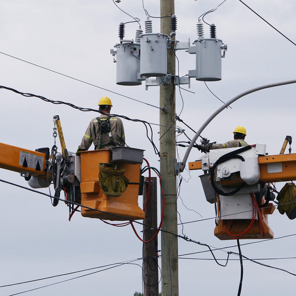
Public Safety Power Shutoff
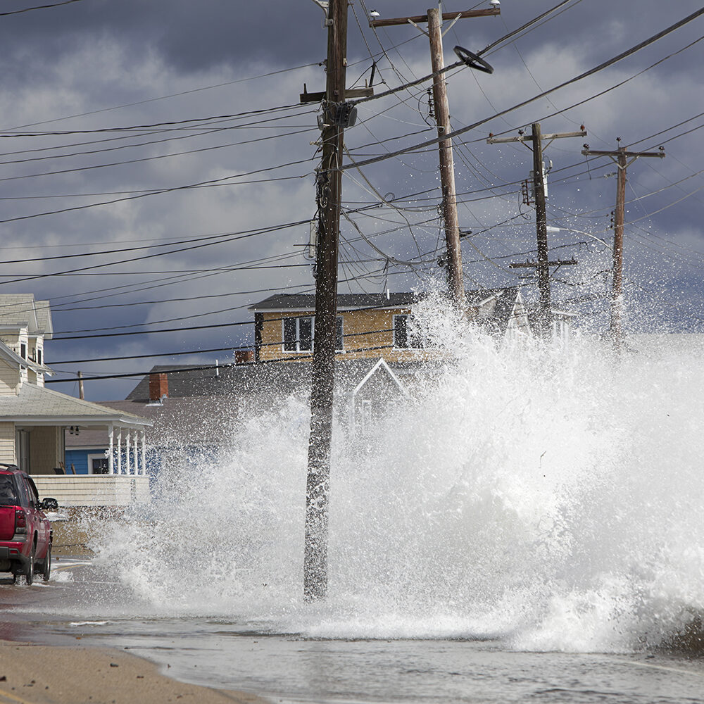
Tsunami
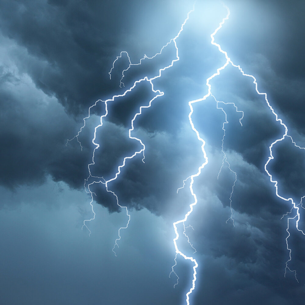
Weather
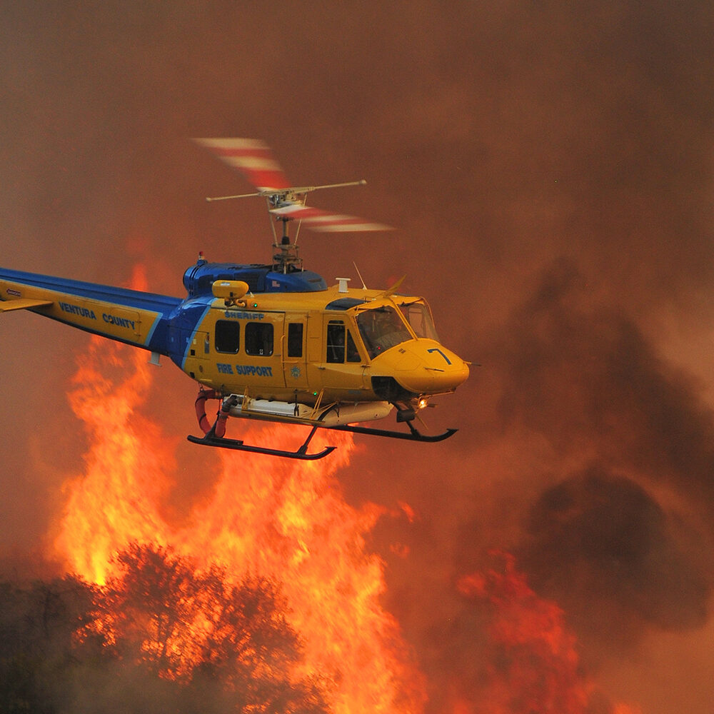
Wildfire
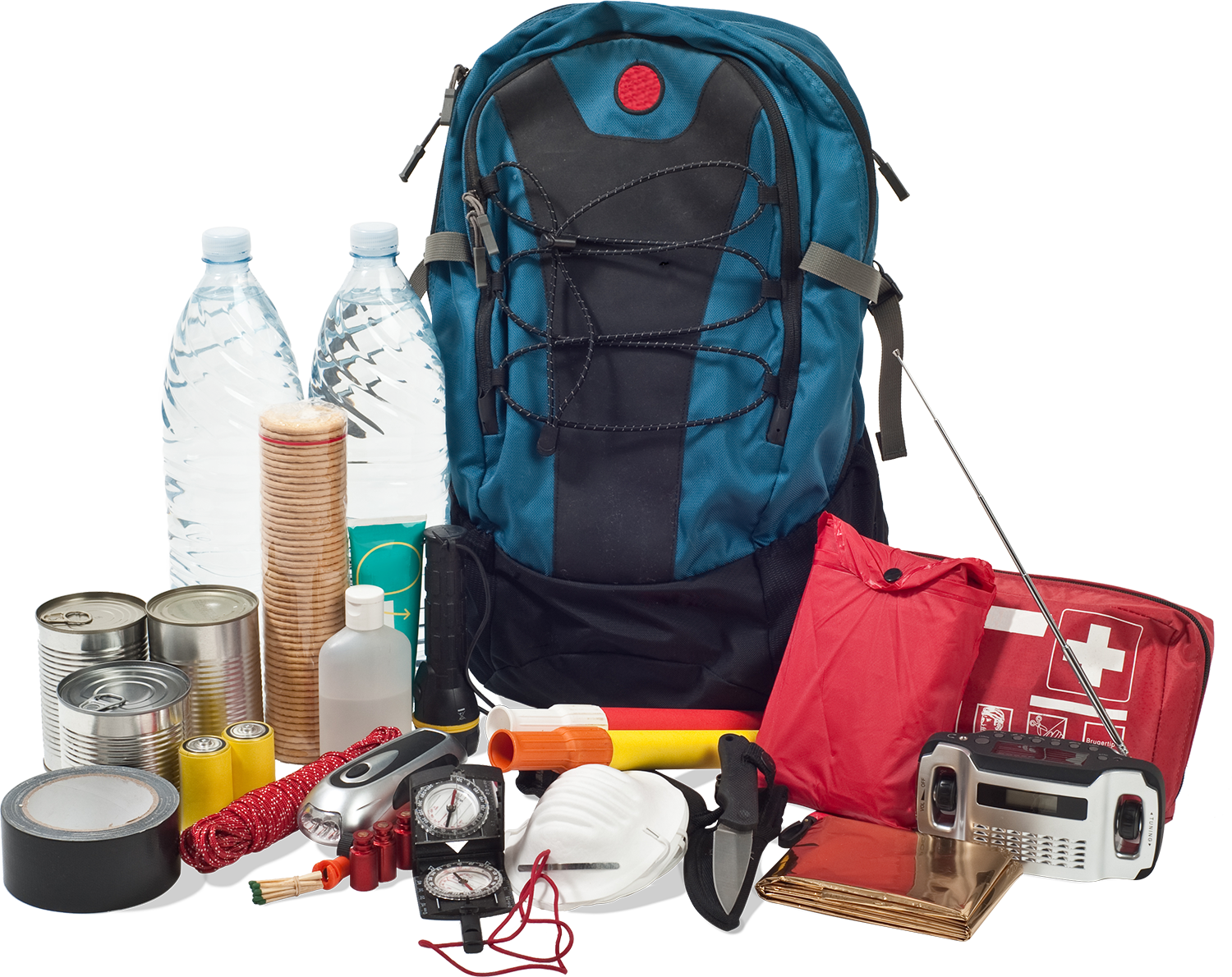
Get Started on Your Emergency Kit
Be ready, not rushed! Use our plan builder to create an emergency kit that's just right for your household today.
 English
 Spanish